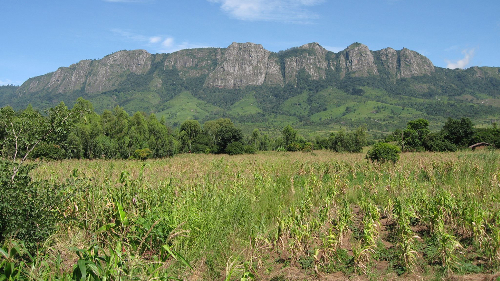
The study aims to use geospatial data to quantify catchment runoff as well as determine the effects of agricultural lands on water quality and quantity across lake Chilwa basin in Zomba catchment of southern Malawi. There is limited understanding of hydrological implications of land use dynamics on water quality and quantity at sub catchment level. The project will lead to better management of lands and water resources for improved livelihoods among the local communities through the use of an integration of a hydrological SWAT + model, remote sensing and some traditional water quality testing. A concise conclusion on variations of catchment waters enhances planning and management of water resources. The quality of water speaks directly to the quantity safely available for food production. An interdisciplinary collaborative research for an impactful research for all stakeholders thus intended beneficiaries and researchers is the broader aim of the study.
Team
ECRs
Catherine Tlotlo Kerapetse
Chengxiu Li
Oscar Kambombe
Tendai Polite Chibarabada
Co-Is
Prof. Jean-Marie Kileshye-Onema
Prof. Maurice Monjerezi
