This research aims at utilizing Remotely Piloted Aircrafts (RPAs) as an affordable source of remote sensing data for precision agriculture.
Assessment of the level of water utilisation with a special focus on small-scale irrigation using RPAs will help to quantify the total size of land under irrigation and the size of food output to feed the growing population. Geographical Information System (GIS) and Remote Sensing (RS) based approaches will be used for processing and interpretation of the drone imagery. The drone capacity as a remote sensing data collection platform will add a new dimension in RS capabilities for managing water and food security.
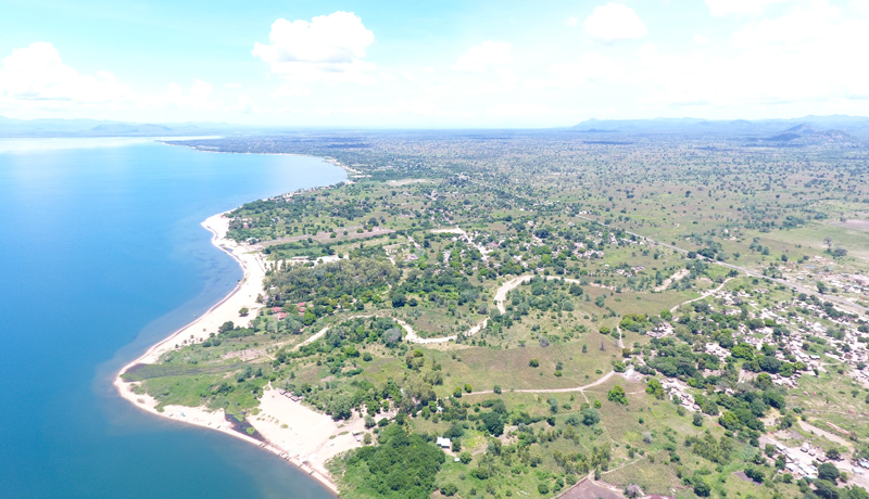
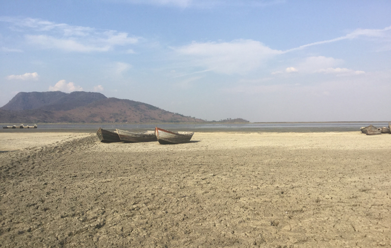
The research will be implemented at Lake Chilwa basin in Southern Malawi and will be scaled out to drylands in Ghana and Kenya.
The potential impacts include improved research capacity in the use of drones, improved access to information by smallholder farmers and dryland pastoralists on resilience building to climate and evidence based policy changes regarding the acceptance of technology (drones) for problem solving in the these countries.
Team members
Mathews Tsirizeni (LEADSEA, Malawi)
Sosten Chiotha (LEADSEA, Malawi)
Jadu Dash (University of Southampton, UK)
Chengxiu Li (University of Southampton, UK)
Gopal Ramchurn (University of Southampton, UK)
Wales Singini (Mzuzu University, Malawi)
Fanuel Kapute (Mzuzu University, Malawi)
Mauli Dzodzomenyo (University of Ghana)
John Obiri (Masinde Muliro University of Science and Technology, Kenya)